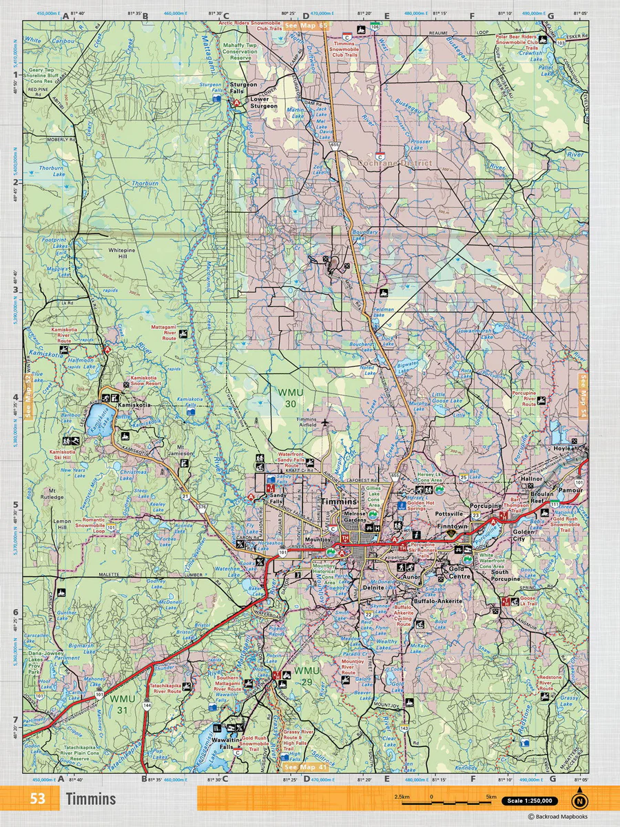
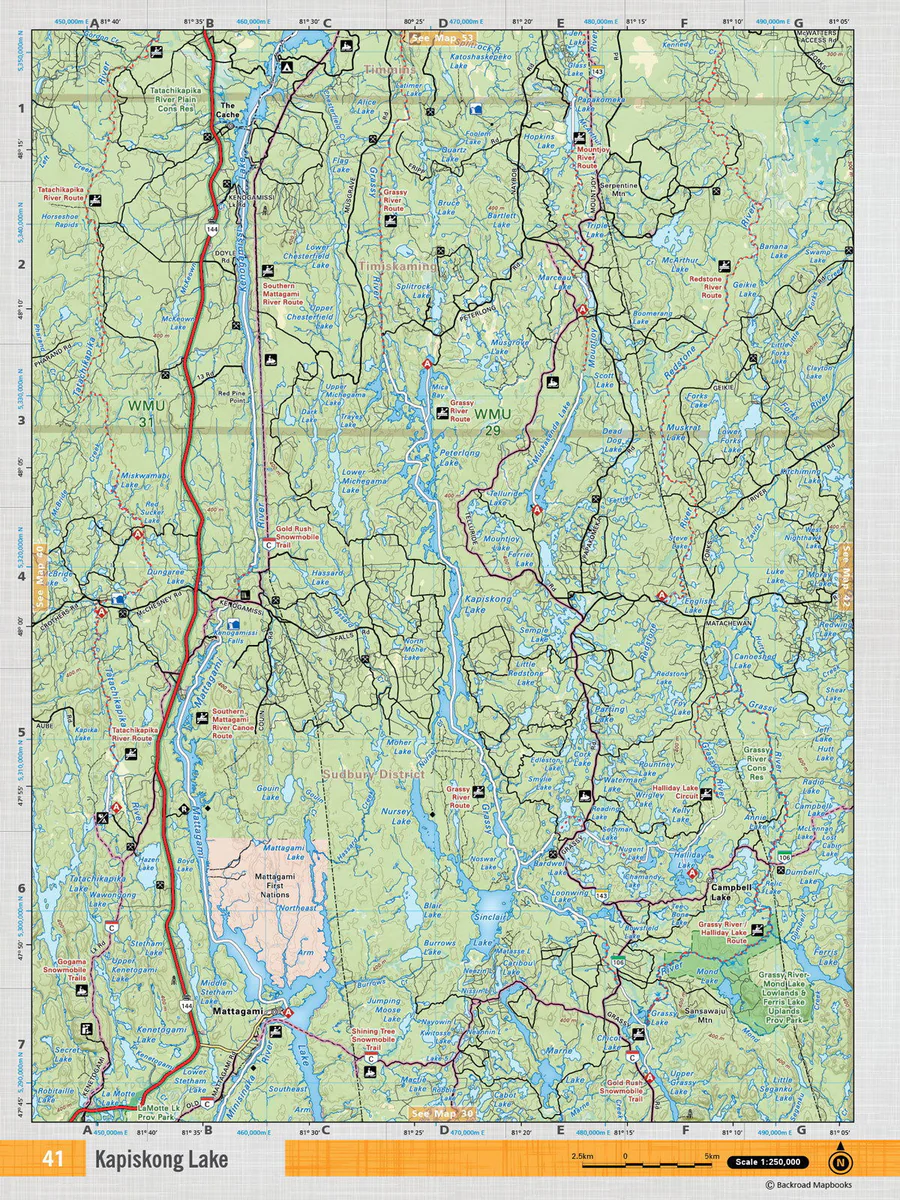
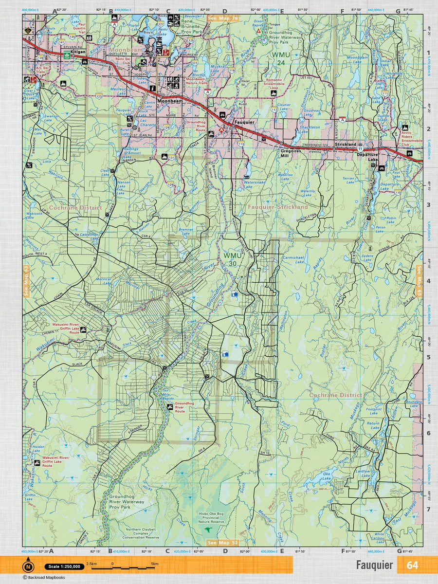
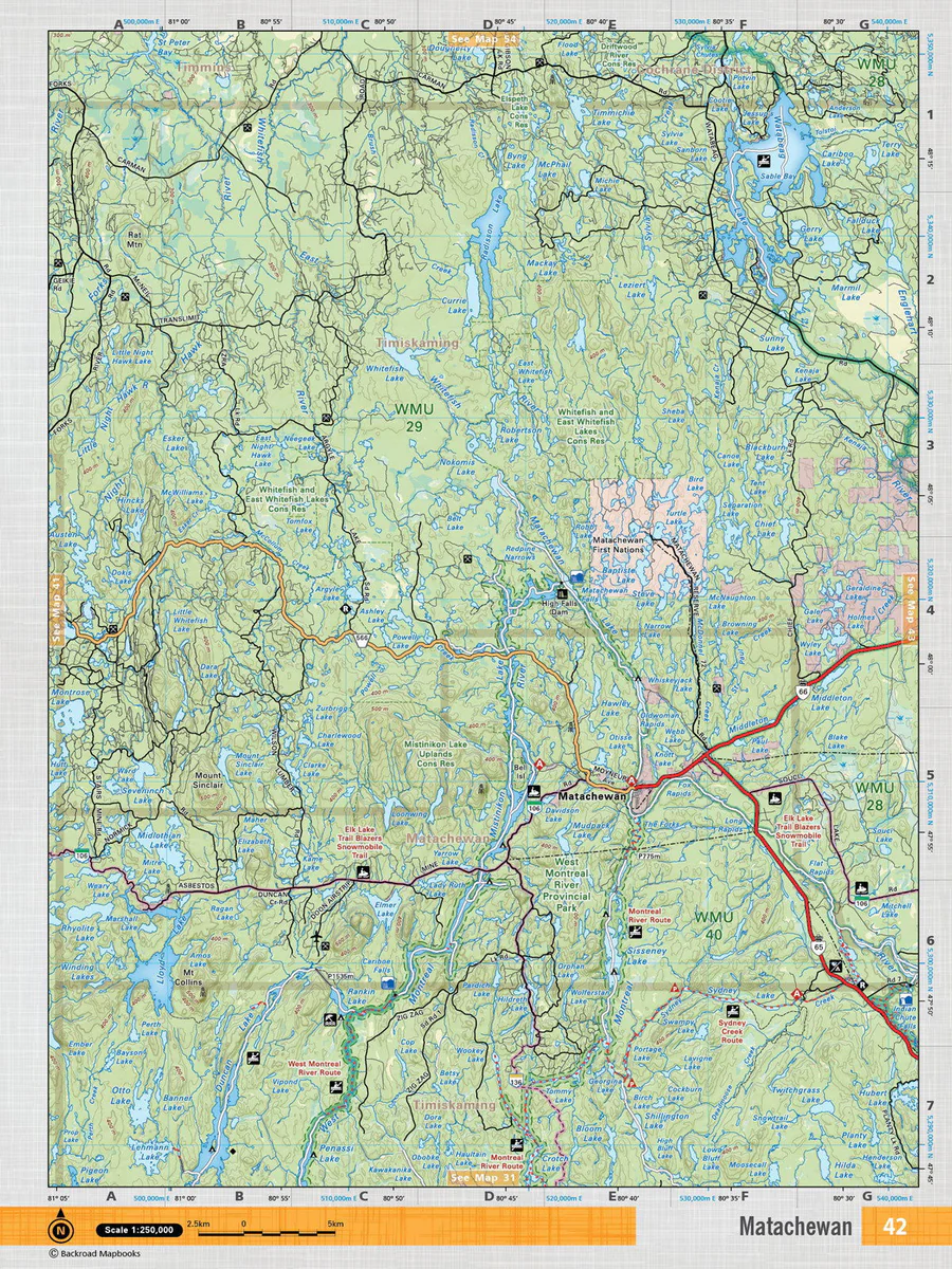
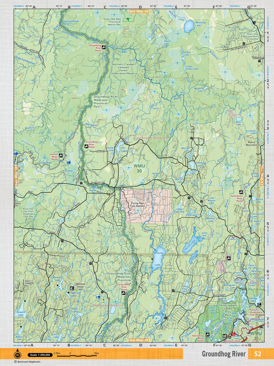
This recreation topographic map for Mattagami highlights all the logging/resource roads, hunting areas, fishing lakes & streams, campsites, paddling routes for canoeing and kayaking, wildlife viewing areas, multi-use trails for hiking, biking, horseback riding, cross-country skiing and snowshoeing, motorized trails for ATVing and snowmobiling & more. Covering 3,040 km2 (1,170 mi2), this 1:85,000 scale map measures 48 x 63.5 km (30 x 39.5 mi), providing you with more topographic and recreational detail for the Meldrum Bay area than any other map on the market. New features include Crown land areas, countless new roads and trails plus additional recreational Points of Interest. Included on this map are Kapiskong Lake, Mattagami Lake, Mattagami River, Sinclair Lake, Kenogamiss Lake, Muskasenda Lake, Mountjoy River, Redstone River, Campbell Lake, Mattagami and more! This map also covers the following Wildlife Management Units: WMU 29, WMU 31. Mattagami – Northeastern Ontario comes in both Print and Digital Versions.